Description
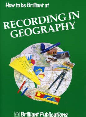
A settlement to study and build in your classroom. Contains simple photocopiable printed nets for cutting, folding and illustration. Exercises include: Working with oblique and vertical aerial photographs, learning about plans, using map references, points of the compass, map symbols and scales on the Model Town map and carrying out geographical investigations in your own area.
Be the first to review “Model Town” Cancel reply


Reviews
There are no reviews yet.